Sometimes planning an excursion can hold surprises in store, leading us to discover hidden, or perhaps simply lesser-known, trekking routes. This time, in order to continue probing and discovering new corners of the Dolomites, we wanted to fill our eyes with the intense blue that characterises the lakes into which the clear Dolomite rock walls plunge. Our choice fell on Lake Fojedora, which can be reached by a classic route starting from the famous Lake Braies. But it is here that the topographical map reveals another access via the summit of Piz da Peres, towards a more adrenalin-fuelled and wilder itinerary.
We thus reach the Furcia Pass, the starting point of this excursion, which lies between San Vigilio di Marebbe, on the edge of Val Badia, and Valdaora in Val di Pusteria, near the well-known skiing destination of Plan de Corones. We are located on the northern border of the Dolomites in South Tyrol, in a mountain sub-group that is less busy compared to other, much more famous Dolomite sites.
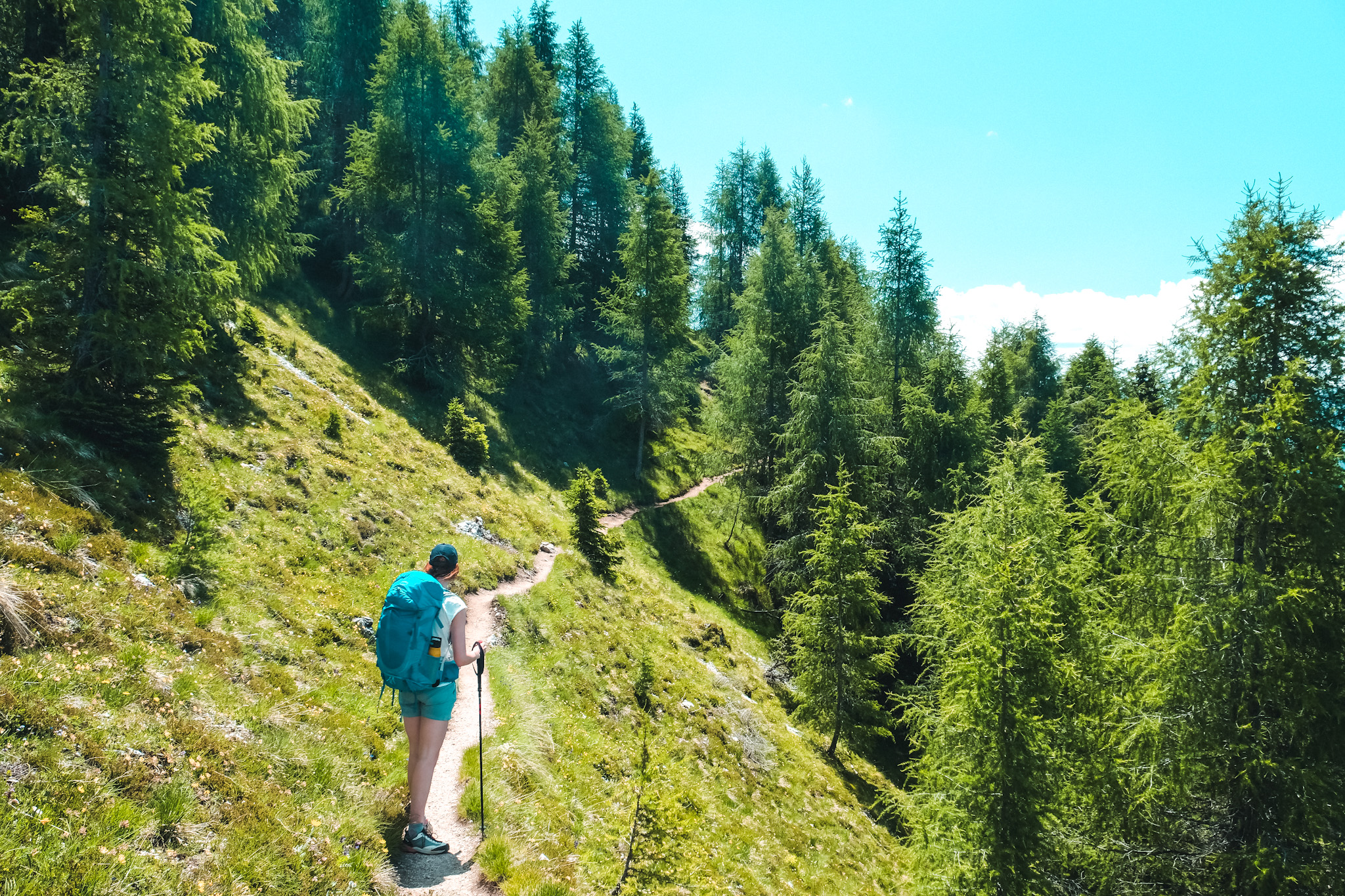
The Enneberg-Marebbe Dolomites, which are part of the Braies Dolomites, are characterised by a few inconspicuous peaks, which are only slightly higher than 2,500 metres, but no less interesting. The trail starts at the Furcia Pass and climbs in silence through a dense forest, with a constant steep ascent that brings us ever closer to the Dolomites walls of the Piz da Peres. The initial forest road gives way to a path that takes narrow bends, until we reach the altitude where the trees give way to the rocks.
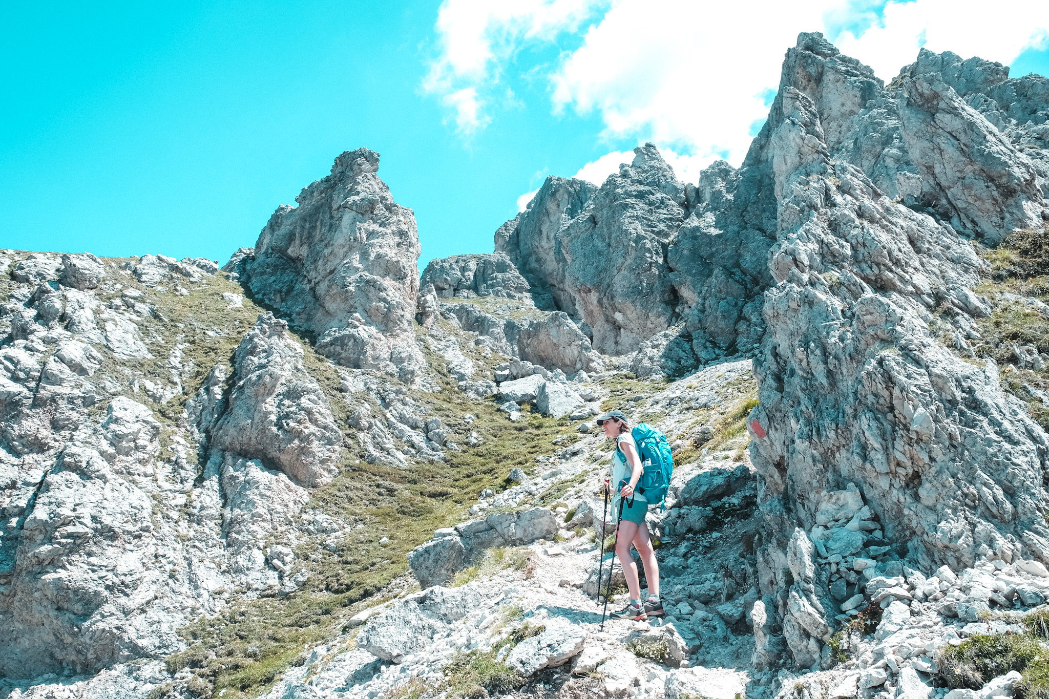
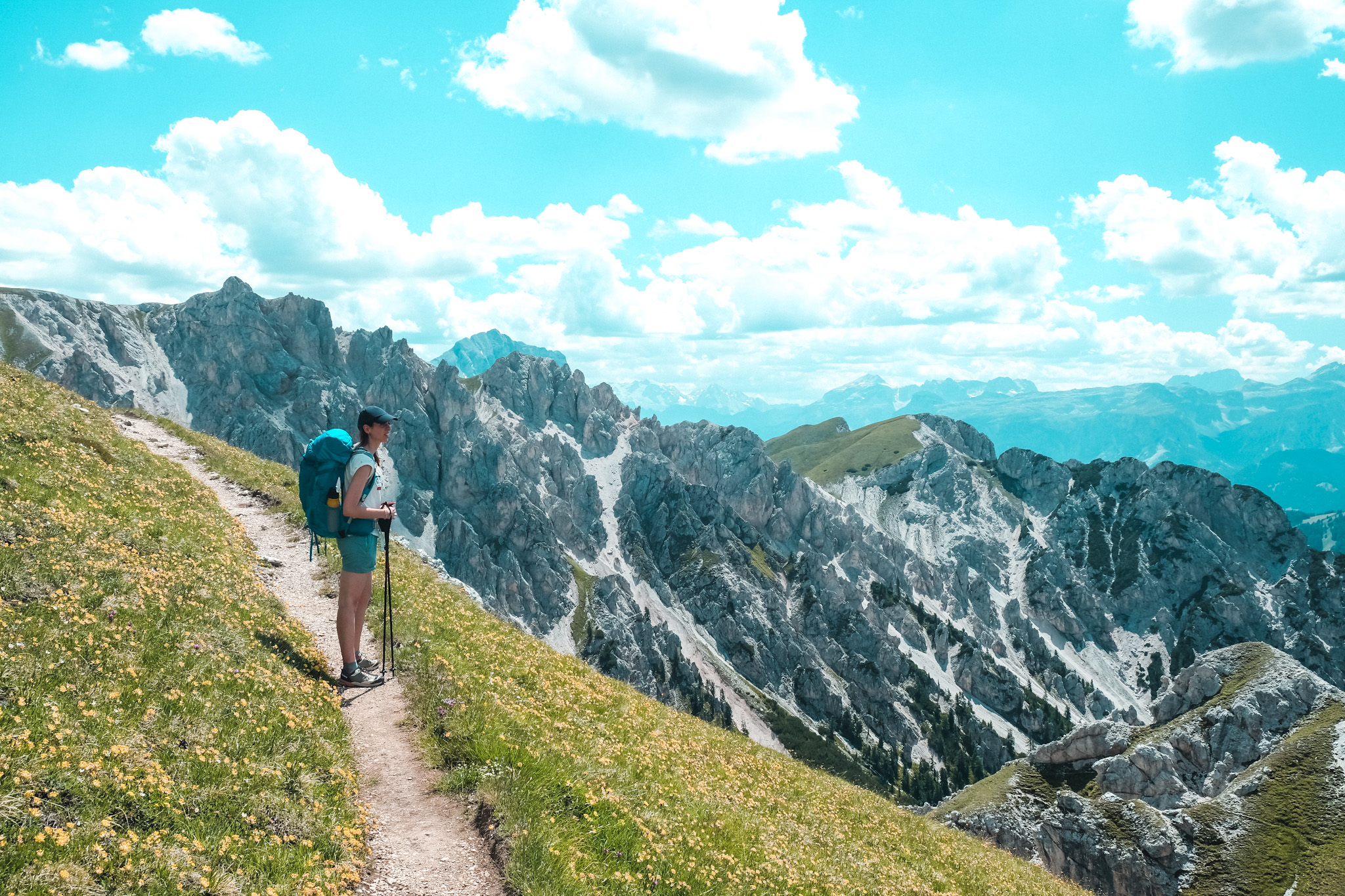
From here on, the view opens up considerably above Val Fojedora, towards the whole Alta Badia, with the path narrowing considerably and now climbing up the rock, becoming exposed on steep, vertical slopes in many places. It is certainly essential in these sections to use trekking poles to improve your balance, thus having two additional points of support.
This is the most challenging part of the hike, from which the narrow and exposed path then gives way to rock. Rock to be tackled with some technical passages where the use of the hands is required, to support the feet looking for footholds on steep rocks, or to take advantage of the handholds of some points equipped with metal cables. For this section, it is advisable to fold up the trekking poles and attach them to your backpack, continuing with your hands free.
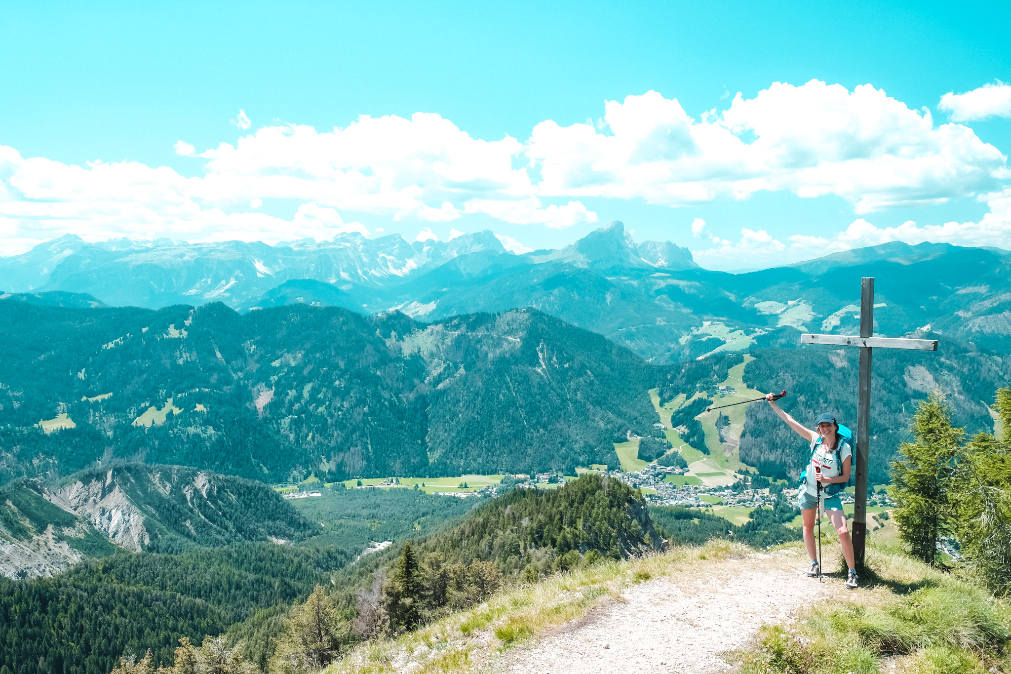
The attention threshold rises, the heartbeat quickens, and the emotions merge between suggestion, tension and amazement at the rocky environment that surrounds us, in the spectacle that the Dolomites rock can create. At the end of this section, which alternates between exposed, equipped and rocky passages, we find ourselves with a final ascent up a grassy slope, which leads us to the summit cross of Piz da Peres, at an altitude of 2,507 metres.
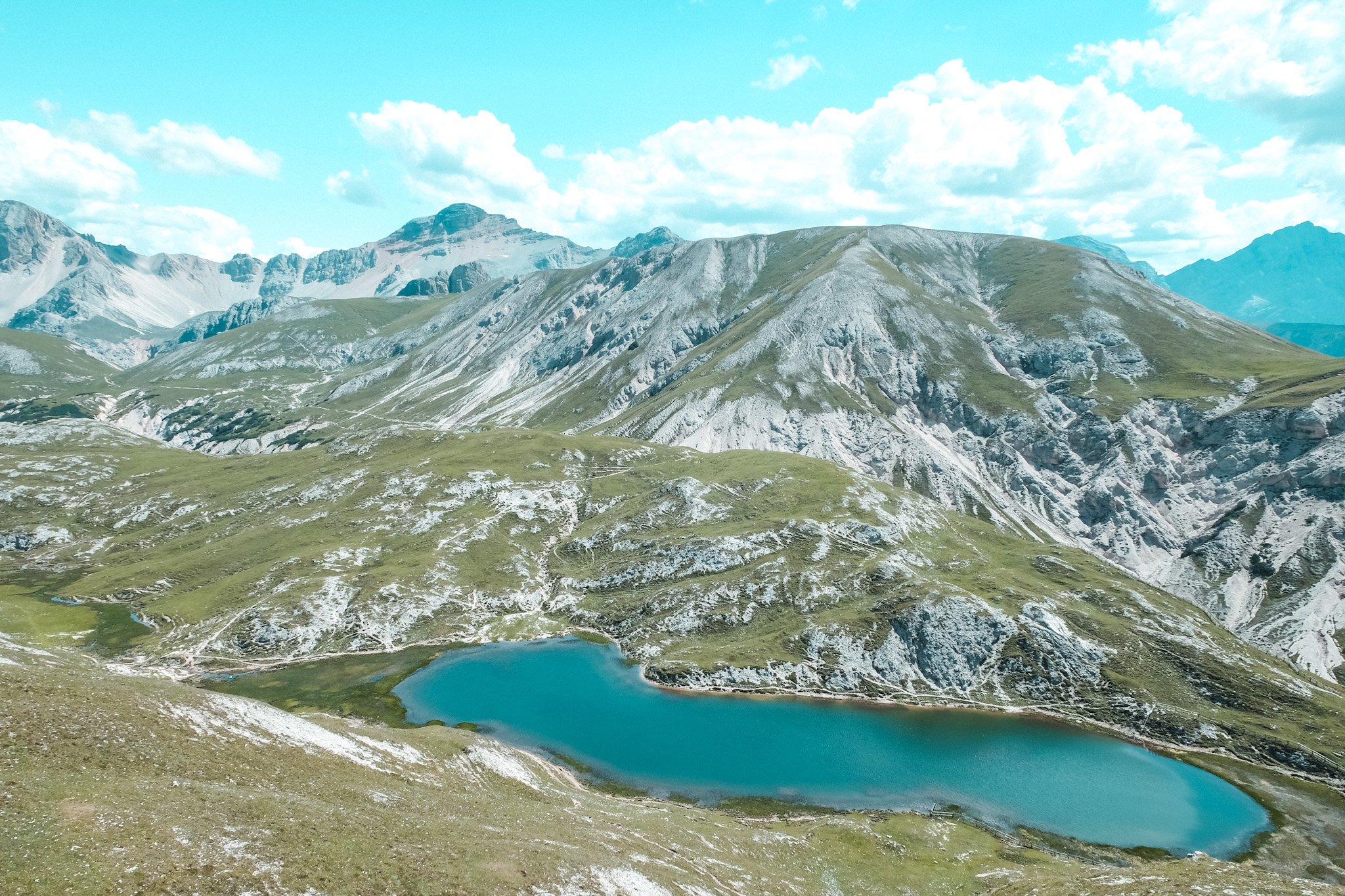
From here, the 360-degree panorama encompasses numerous peaks of the Dolomites of the Fanes-Sennes-Braies nature park, as far as the Zillertal Alps on the Austrian border. In front of us, Lake Fojedora, the goal of the day, stands out in the distance, with the Three Peaks of Lavaredo appearing in the same direction in the background.
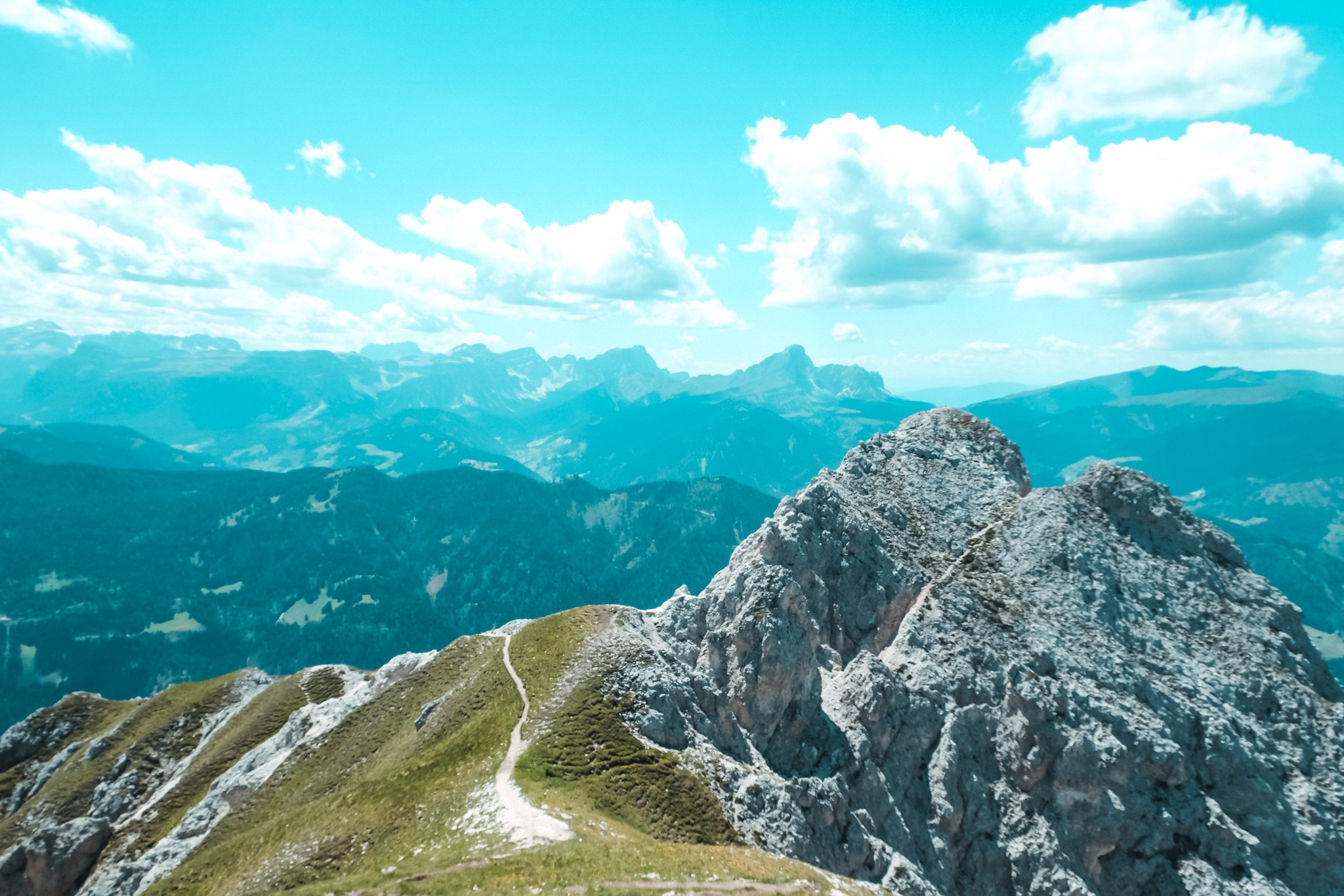
From here onwards, the path to the lake winds its way up and down, still narrow and exposed in places, filling us with the view of the lake as it gets closer and closer. We thus admire Lake Fojedora as we walk along this section of the path, and then dive into a long return journey, closing the loop with the path that leads from the Lapadurscharte pass down the northern slope of Piz da Peres.
It is a lonely path where for hours we meet no one, in a succession of ascents and descents, crossings some steep scree, where the trace of the path thins out to leave room to one foot at a time only. The threshold of attention never drops, with the last climbs and with the trail’s trace occasionally seeming to disappear into the scree.
The last jolts and emotions lead us back to Furcia Pass, leaving us in the fullness of the emotions experienced, with the images of this day still vivid and imprinted in our minds.